Capital Region Forecast – January 26
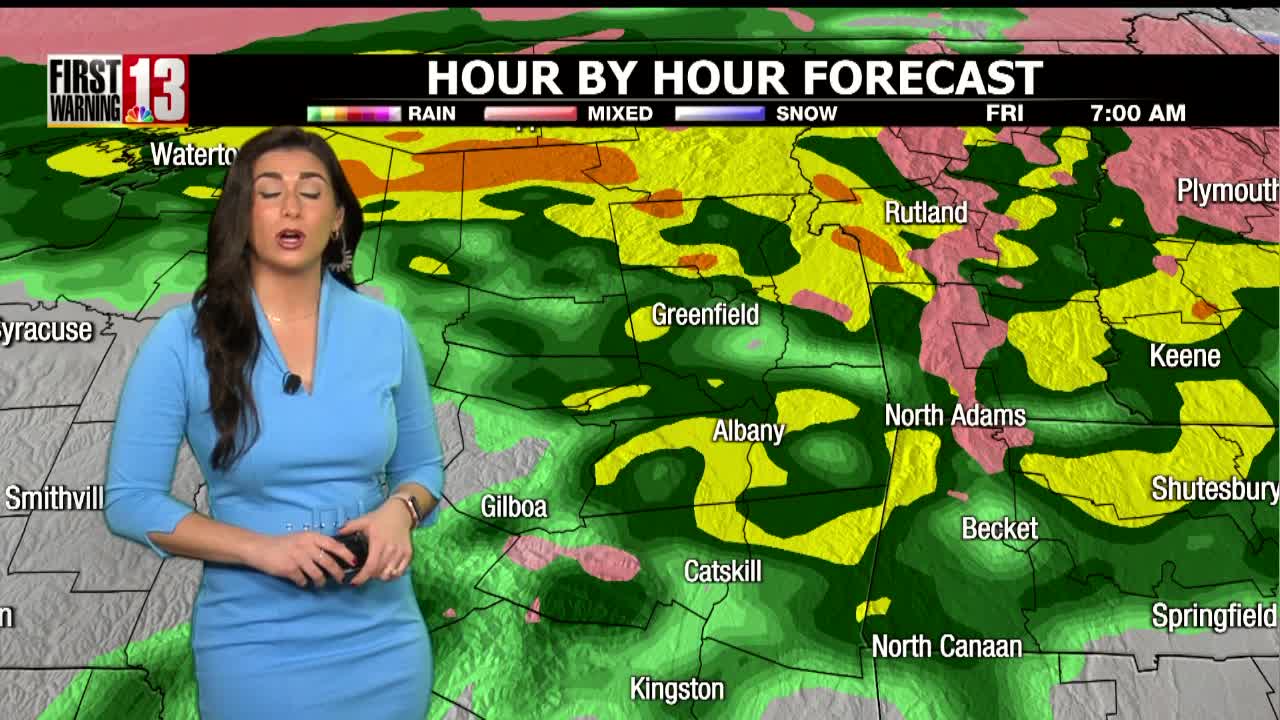
Showers become more spotty with drier weather this afternoon. Highs will be in the 30s and lower 40s. Skies stay mostly cloudy tonight with patchy fog as overnight lows drop into the mid to low 30s.
Temperatures will stay above average on Saturday with mostly cloudy skies and highs near 40. We have issued a First Warning Alert Day Sunday as a low pressure system develops off the coast and will approach our region. Based on the temperature on the time of onset it may start as light rain in the valleys before transitioning over to snow. Weather models are showing at the very least a light snow accumulation for most of our area with a moderate accumulation possible across the higher terrain of the Catskills and Berkshires. Highs will be in the mid 30s.
It will be mostly cloudy and breezy on Monday with a few leftover snow showers. Highs Monday will be in the lower 30s. We dry out midweek with highs in the mid 30s and a mix of sun and clouds.
Have a great weekend!